Land consumption and loss of open space in 2030.
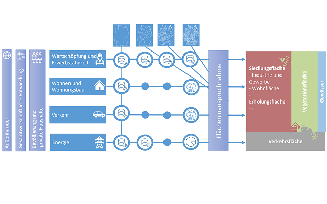
Within the project, reliable forecasts on the loss of open space in Germany are to be calculated. For this purpose, a structured mapping and evaluation of the utilization claims and accesses to open space areas is required. In this structuring, the open space losses are to be systematized spatially, the main causes of loss are to be mapped and evaluated, and the political objectives and the available instruments are to be located within this structure of effects.
On this basis, the open space losses until the year 2030 as well as 2050 are to be predicted in different scenarios, in the framework of which, among other things, the increase of settlement and traffic areas, the expansion of renewable energies as well as the spatial effect of climate change are to be mapped.
These scenarios will then be subjected to a detailed quantitative, but also qualitative evaluation. The evaluation will be based on the federal government's land policy goals, federal policy goals from other policy areas, the different perspectives of the stakeholders on the keyword "land loss", and an overall regional planning assessment of the spatial developments in the regions resulting from the scenarios.